
Click image for full resolution

Click image for full resolution
|
Click image for full resolution |
Click image for full resolution |
| Click here for latest unanalyzed surface map from website | Click here for latest analyzed surface map from website |
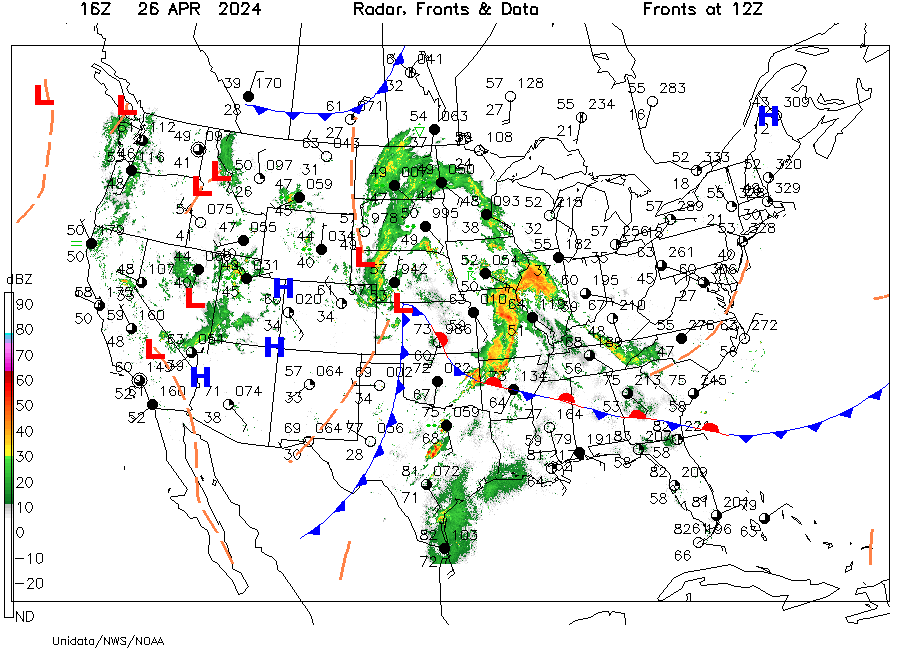
Weather information is coded in a surface station model on surface weather maps. For a description of the surface station model, click here. The circle at the center of the model is centered on the station location. The approximate time that the weather information was collected is shown in UTC with the date in the upper left margin. For station identities, see Available Surface Stations.
The surface weather map on the right is computer-analyzed for
pressure by the addition of isobars. Also, the location of centers of
relatively highest and lowest pressures are shown by H and L,
respectively. In addition, the positions of frontal boundaries are
displayed. For an explanation of the symbols used for fronts, click
here. The time of the frontal locations is given in the upper
right margin. Finally, the position of radar echoes from a national
network of NWS Doppler radars is overlain where echo intensity is shown
by the radar reflectivity scale along the lower left margin. For more
interpretation of the radar intensity scale, click
here.
| Back to Contents | DataStreme Atmosphere Webpage |