Satellite Applications for Rainfall Rates and Flood Prediction
Participants will learn about GOES-R and JPSS satellite product applications and models related to rainfall and flood events, and engage in hands-on exercises to investigate case studies using the products and models. At the end of the short course, participants will have developed an understanding of the satellite data and products pertaining to precipitation forecasting.
105th AMS Annual Meeting
New Orleans Ernest N. Morial Convention Center
January 12, 2025 at 8:00 AM - 3:30 PM Central Time (In Person)
REGISTRATION RATES
| AMS Member Early Rate | Non-Member Early Rate | AMS Student Member Early Rate | AMS Member Late Rate | Non-Member Late Rate | AMS Student Member Late Rate | |
| Through Dec 4 | Through Dec 4 | Through Dec 4 | Dec 5-Jan 10 | Dec 5-Jan 10 | Dec 5-Jan 10 | |
| Satellite Applications for Rainfall Rates and Flood Prediction | $115.00 | $140.00 | $80.00 | $155.00 | $180.00 | $120.0 |
Course Description:
Participants will learn how NOAA GOES-R and JPSS satellite data and products are used and incorporated into models for the application, prediction, and decision support in protecting people and property during rainfall and flood events.
Precipitation prediction products such as Quantitative Precipitation Forecasts (QPE), Total Precipitable Water (TPW) and Advected Layer Precipitable Water (ALPW), Ensemble Tropical Rainfall Potential (eTRaP), and Enterprise Rain Rate (eRR), Climate Prediction Center morphing method (CMORPH) will be discussed.
Through hands-on exercises, participants will have an opportunity to access and download GOES-R/JPSS satellite data products, as well as other products and models, to investigate case studies pertaining to rainfall and flood events. For our hands-on exercise of the FIER technique, users are required to bring their laptop with a Google Colab account to participate in the activity and shared notebook.
It is desired that attendees have a fundamental understanding of satellite remote sensing and basic Python programming skills for the FIER portion of the short course. Some suggested resources to prepare for the workshop in advance include these training modules. There is no charge for the MetEd sessions:
- Using Satellite Products to Differentiate Extraordinary & Typical Tropical Rainfall Events
- GOES-R/JPSS Case Exercise: Applications for Heavy Rainfall & Flash Flooding
The participants will come away with an enhanced understanding on how to generate and apply GOES-R and JPSS environmental satellite data products and models for monitoring and predicting rainfall and flood events in real-time situations.
Technology:
- Participants will need to bring their own device to utilize the tools and services that will be available during the hands-on exercises.
- Participants will be provided access to online cloud services to access tools and run models.
If you have questions regarding the course, please contact Sherrie Morris.
Instructors:
.jpg)
Dan Bikos
CIRA
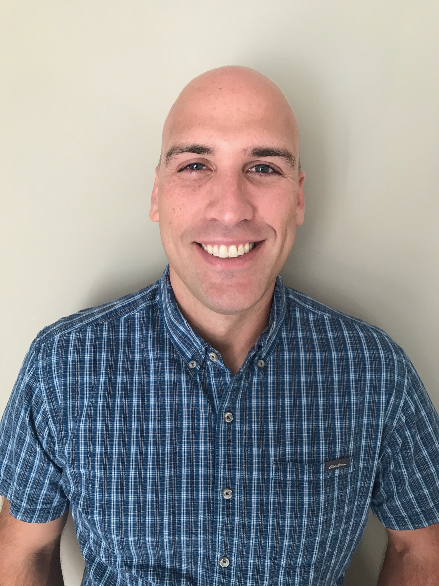
Stephen Superczynski
NOAA/NESDIS/OSPO

Jorel Torres
CIRA/CSU
William Straka
CIMSS/SSEC, NOAA/JPSS

John Forsythe
CIRA

Dr. Hyongki Lee
University of Houston

Amirhossein Rostami
University of Houston

Bob Kuligowski
NOAA/NESDIS STAR